Ouachita River Crossings
At County Road 54
I was pleasantly surprised to find this ‘low water’ crossing in a secluded wooded area about five miles east of Mena. We first had tried to find this crossing by following SH 88 east of Mena, but we couldn’t find a sign for CR 54 connecting to SH 88. We returned to Mena for lunch and then took SH 8 to the southeast and soon found CR 54 leading east. The pavement narrowed and ended after a few miles. The dirt road soon turned north and dropped into the river valley to this crossing. The narrow dirt road continued to SH 88, but it was designated CR 647 there.
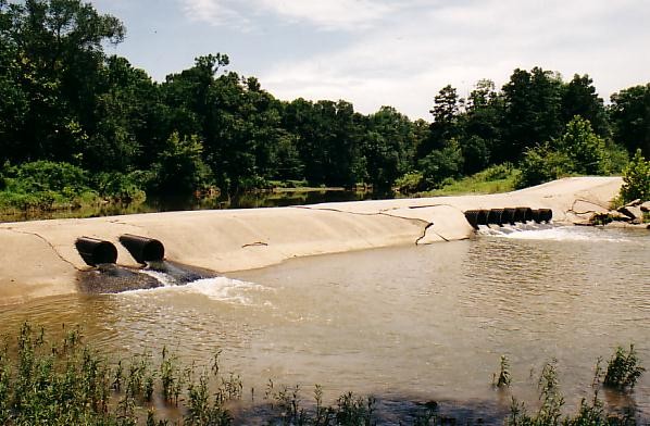
The water level upstream of this ‘dam’ will depend on water flow. When there is enough rainfall upstream, the water will flow over the road and it will be impassable. The elevation here is about 950 feet.
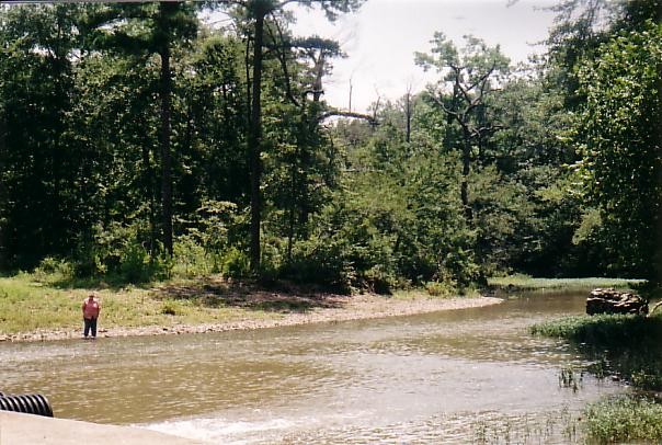
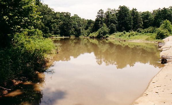
This is a beautiful place to stop and enjoy the natural setting of the stream, but ‘tenderfeet’ should probably be shod for protection from the little stones. Ann is standing at water's edge. The gravel slope on that side of the road and river provides an area for parking and access to the water.

Posted: 7/20/03
 Sign My Guestbook