Ouachita River Crossings
Near Rocky Shoals Float Camp
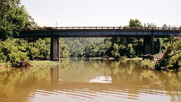
We took US Highway 270 southeast from Pencil Bluff about three miles to the river. The traffic was too heavy for walking on the bridge so we pulled off at the float camp access. There was a step gravel road down to the water's edge and I hiked down to get these photos. I think I'll got back some spring on a week day and get a photo from the bridge.
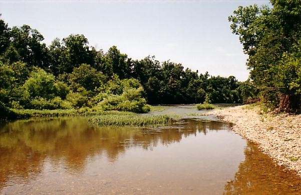
I took off my shoes and socks and rolled up my pants legs so that I could wade into the river for a better view. The main river runs on the far side of the island on the left. The water was swift, but shallow on this side. The gravel river bed was pretty rough on my tender feet; so was the climb back to the camping area.

Posted: 7/20/03
 Sign My Guestbook