Meteor Crater, Arizona
Photo Virtual Tour of the Crater Rim
Page Two
Digitally Stitched Panorama
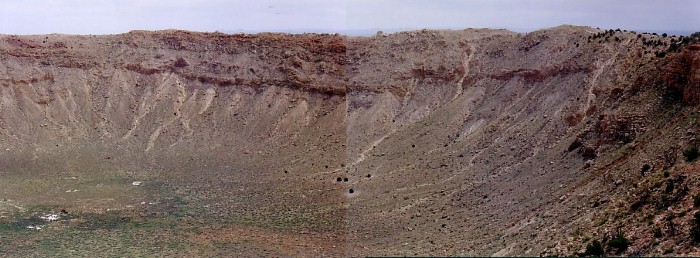
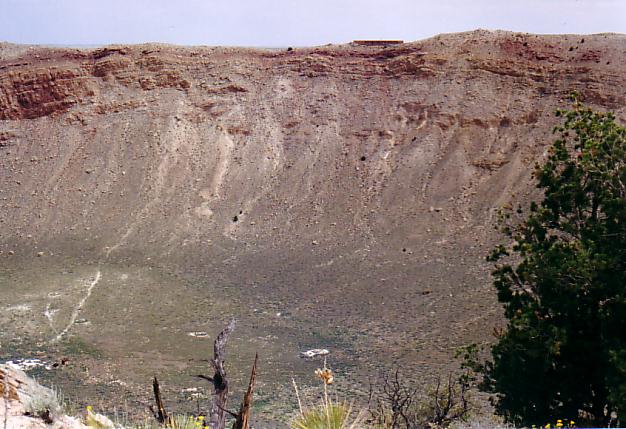
Panoramic view of meteor crater along south rim to east rim.
Note the 'knob' landmark on the rim just right of center
and the four little dark spots (cedars) just below the center.
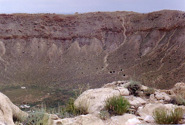
The Great Meteor Crater of Arizona is just south of Interstate 40 between Flagstaff and Winslow. It is visible from the highway. It was created by the impact of a large meteorite about 50,000 years ago. It is about 4, 150 feet across and 570 feet deep. The early explorers and settlers assumed that it was an old eroded volcanic crater. It was many years before the general public accepted the view that it had been created by meteor impact. Some assumed that the meteor was a large chunk of iron and that the remaining iron could be mined at a profit. Early drilling was done in the center of the crater because it was assumed that the meteor had to be traveling straight down to create a circular crater. Studies eventually showed that low angle impacts also cause circular craters and that the meteor that caused this crater was coming from the north, northwest. Mining efforts shifted to the south rim, but nothing was found there either.
I first heard or read of the Great Meteor Crater when I was just a child. It amazed me that such a large hole could have been made by something falling from space. It was also amazing that giant objects from space would hit the earth. I wanted to go see it, but never thought that I could travel that far; Arizona seemed to be far away in the mysterious west.
Forty years later we were extending a trip to Glorietta, New Mexico, on to the Grand Canyon and other sights along the way. I saw a sign advertising the Crater and suddenly realized that my childhood dream was coming true!
Click photos for 400 x 600 pixel versions.
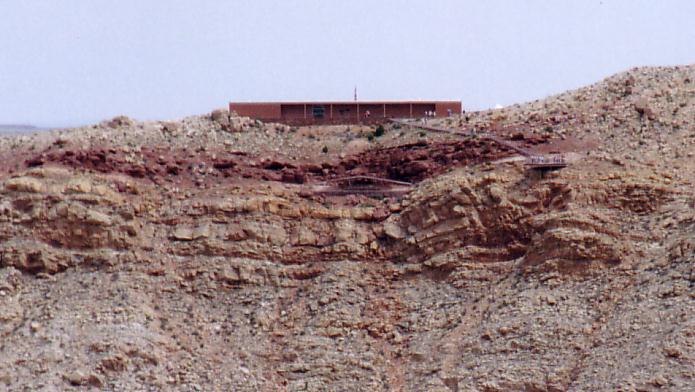
View of the headquarters building on the north rim from a location on the southeast rim.
|
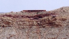
Telephoto view of headquarters enlarged to equal an even greater telephoto lens length. Tourists are visible on the observation deck and the steps leading to it.
|
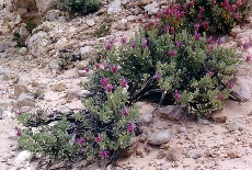
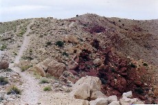
Desert plant life resembling clover. The trail curves at the left of the photo.
|
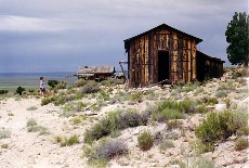
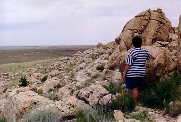
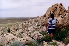
Ann is viewing the old mine shacks.
|
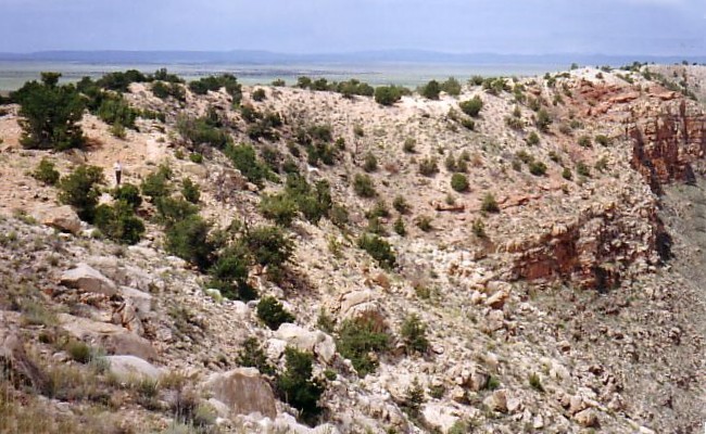
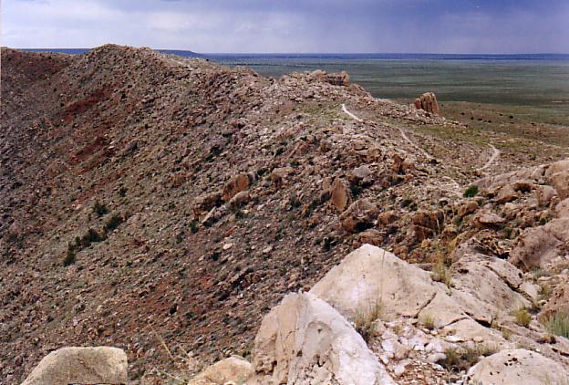
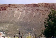
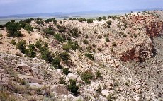
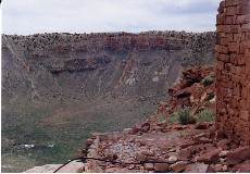
The west rim viewed from the south rim. The peak near the center is also near the center of the panoramic photo on page 1.
|
I'm on the trail along the southwest side of the rim looking back to take the next photo of the south rim.
|
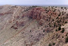
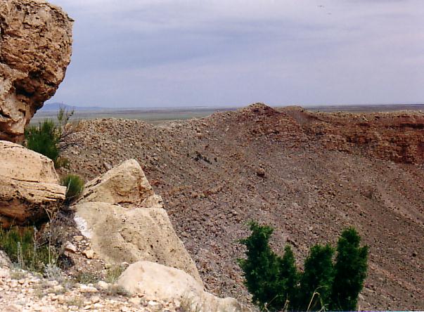
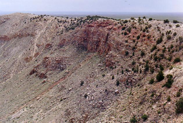
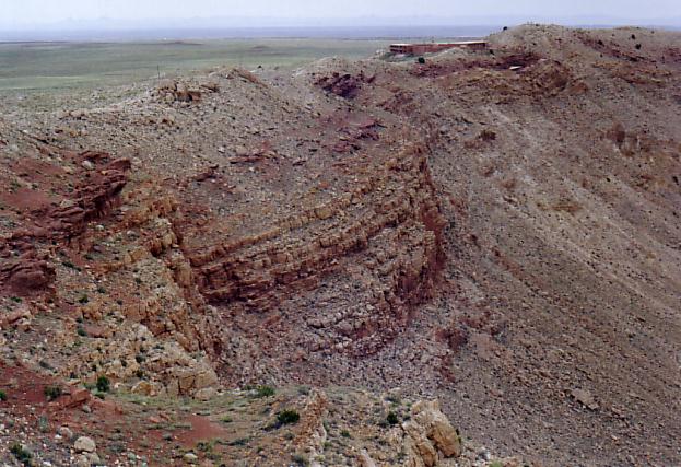
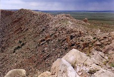
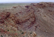
South rim. The red streak extends from the center to the lower left corner. Rock outcropping beyound the streak is not as prominent in this photo.
|
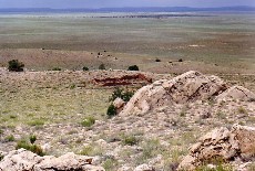
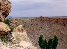
View across the desert to the south from the sourthwest rim.
|

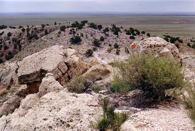
View back along the west rim looking south. The trail is visible in the larger image.
|
At about this point on the northwest side, Ann said, "Go on without me. I think I'll just stay here and rest." She said she felt like a pioneer woman having to drop out during a desert crossing.
|
Of course I wasn't going to leave her there so we rested and took more photos. This is a view back along the west rim. The distinct peak is visible at upper left. (In previous photo from south and in panorama from northeast)
|
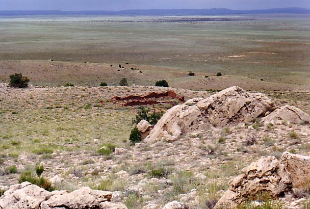
View toward southeast. 'Knob' landmark, clump of four cedars, and structures at bottom of crater.
|
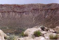
South rim and crater floor from northwest. Red streak and outcropping are visible. Ruins of an old club building.
|
Our goal in sight. View east along north rim to park headquarters. Tourist outlook platform is barely visible below and right of building. (Near the white spot.)
|
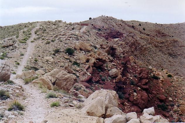
The final part of the trail! The outlook platform is visible. Note the tourists on the high point beyound the headquarters. That was the point from which the first photos on page 1 were taken.
|
3/30/03